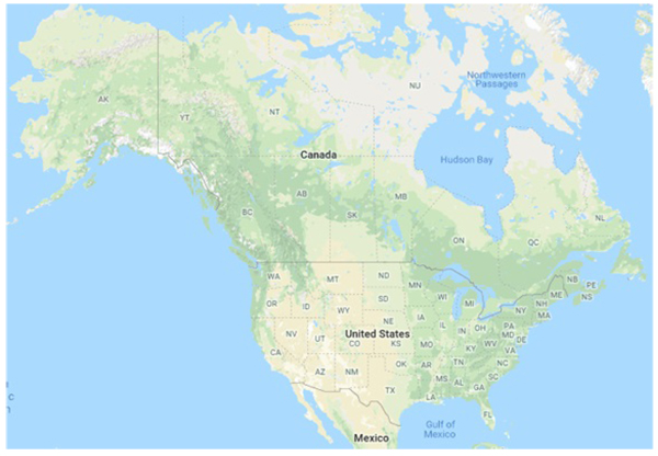
Fig. (1)
Political map of the continental United States and Canada with two-letter abbreviations for each US state and Canadian province. Map data: Google, INEGI.